Toggle navigation
SERVICES
PROJECTS
ABOUT
MEDIA
CAREERS
PREMIUM PROJECT DEVELOPER
BENEFITS FOR
COMMUNITIES
BENEFITS FOR
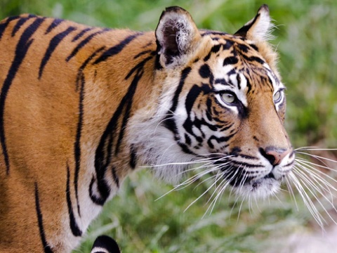
BIODIVERSITY
BENEFITS FOR
INVESTORS
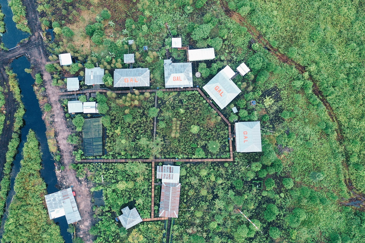
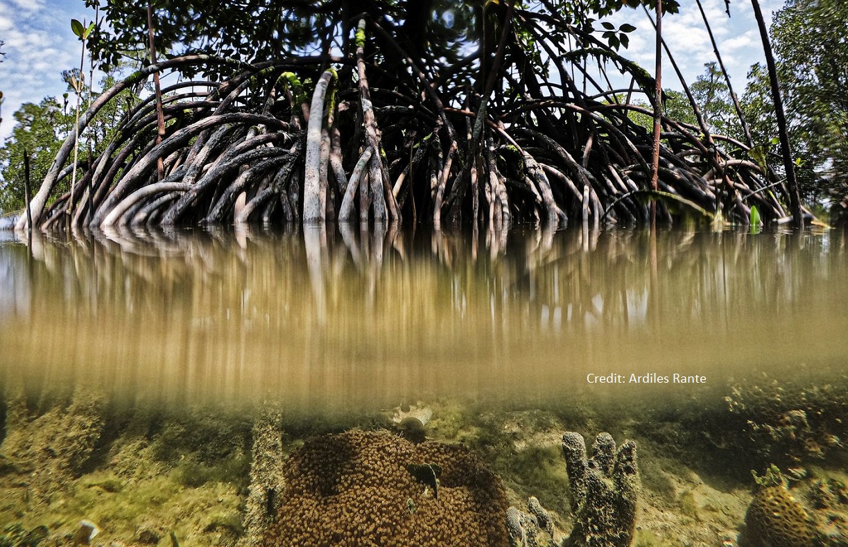
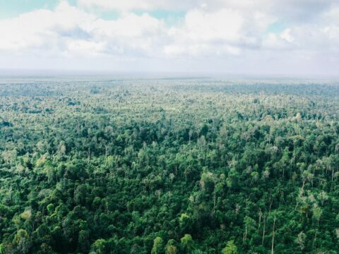
PEATLAND AND MANGROVE
ECOSYSTEMS
USING
TECHNOLOGY
TO RAPIDLY DEVELOP NEW WETLAND RESTORATION PROJECTS
-->
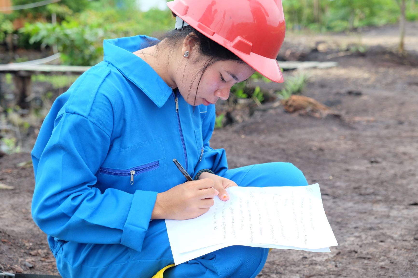
INDUSTRY LEADING
IMPACT
TRANSPARENCY
THROUGH
TECHNOLOGY
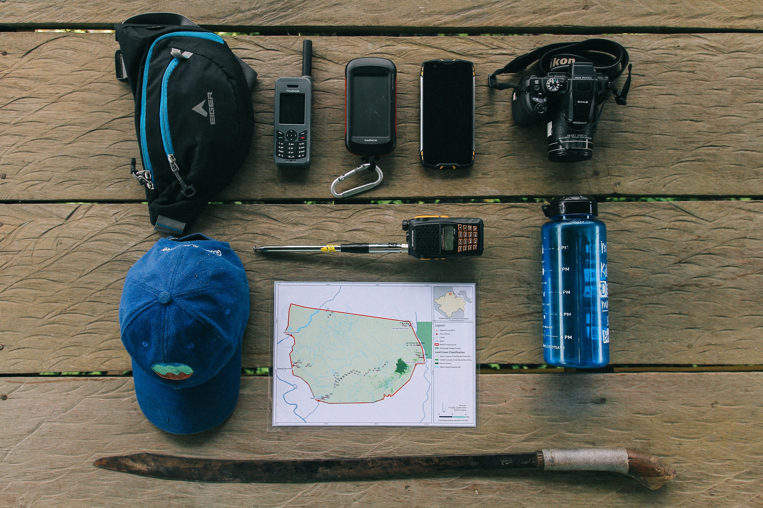
Using IoT Sensors and machine learning for robust impact verification.
Learn more...
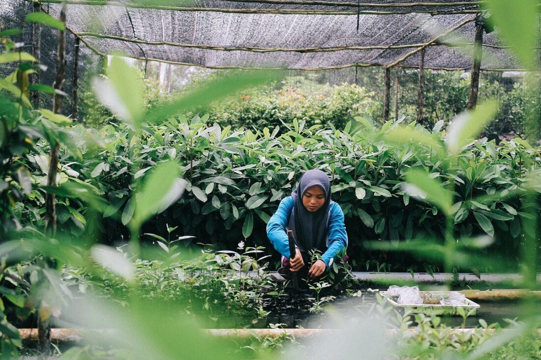
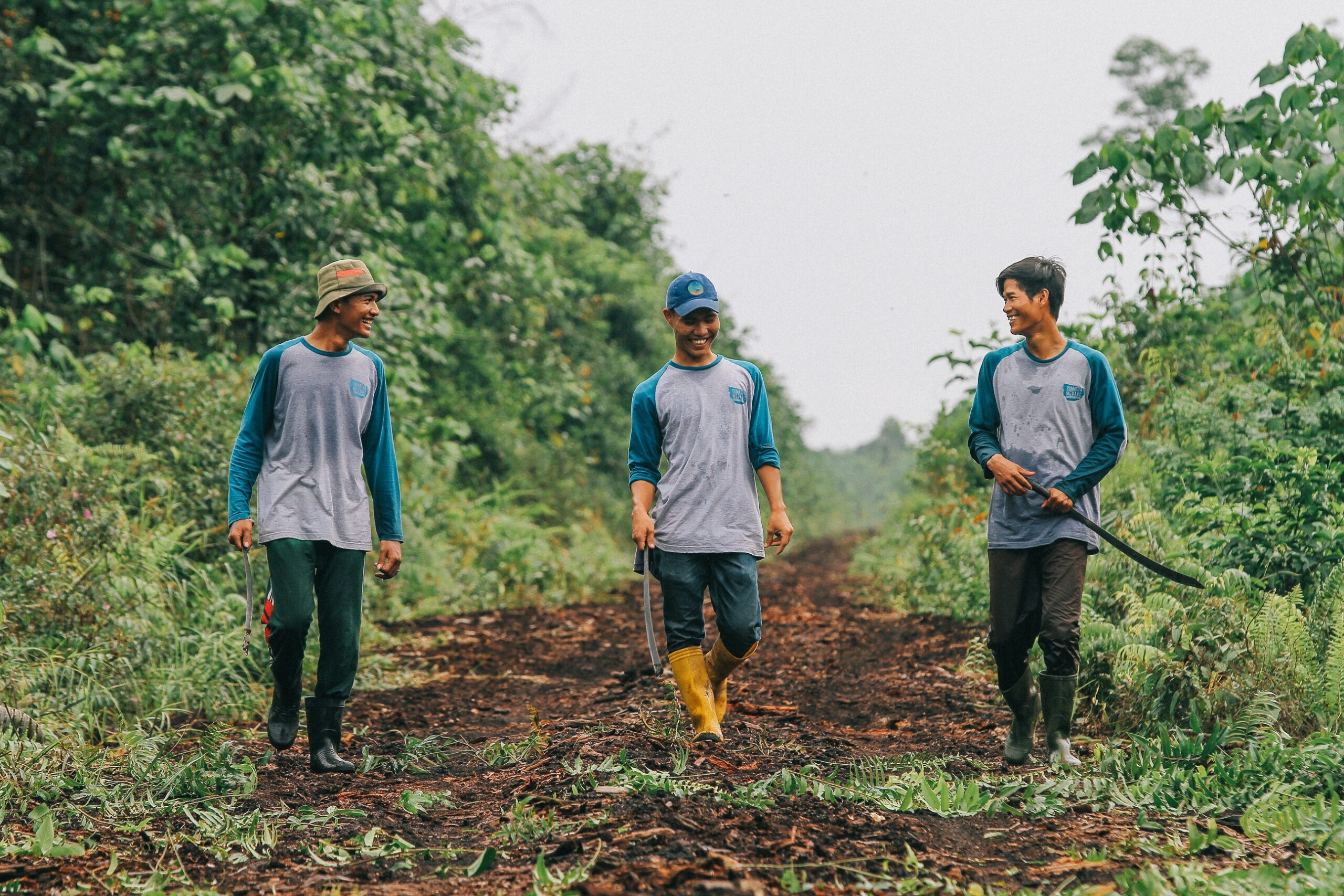
HIGHLY-SKILLED
LOCAL TEAMS
Investing in staff from local communities to ensure equitable engagement and long-term impact
Learn more...
DISCIPLINED
ADHERENCE TO STANDARDS
Meeting the highest international performance standards for restoration projects, including CCB, VCS and IFC.
Learn more...
-->
RESTORING ECOSYSTEMS
FOR PEOPLE AND PLANET
COMBATTING CLIMATE CHANGE
Restoring rainforest and wetlands to promote carbon storage from the atmosphere, mitigating climate change.
REGENERATING HABITATS
Reconnecting habitats for endangered species in some of the most biodiverse regions in the world.
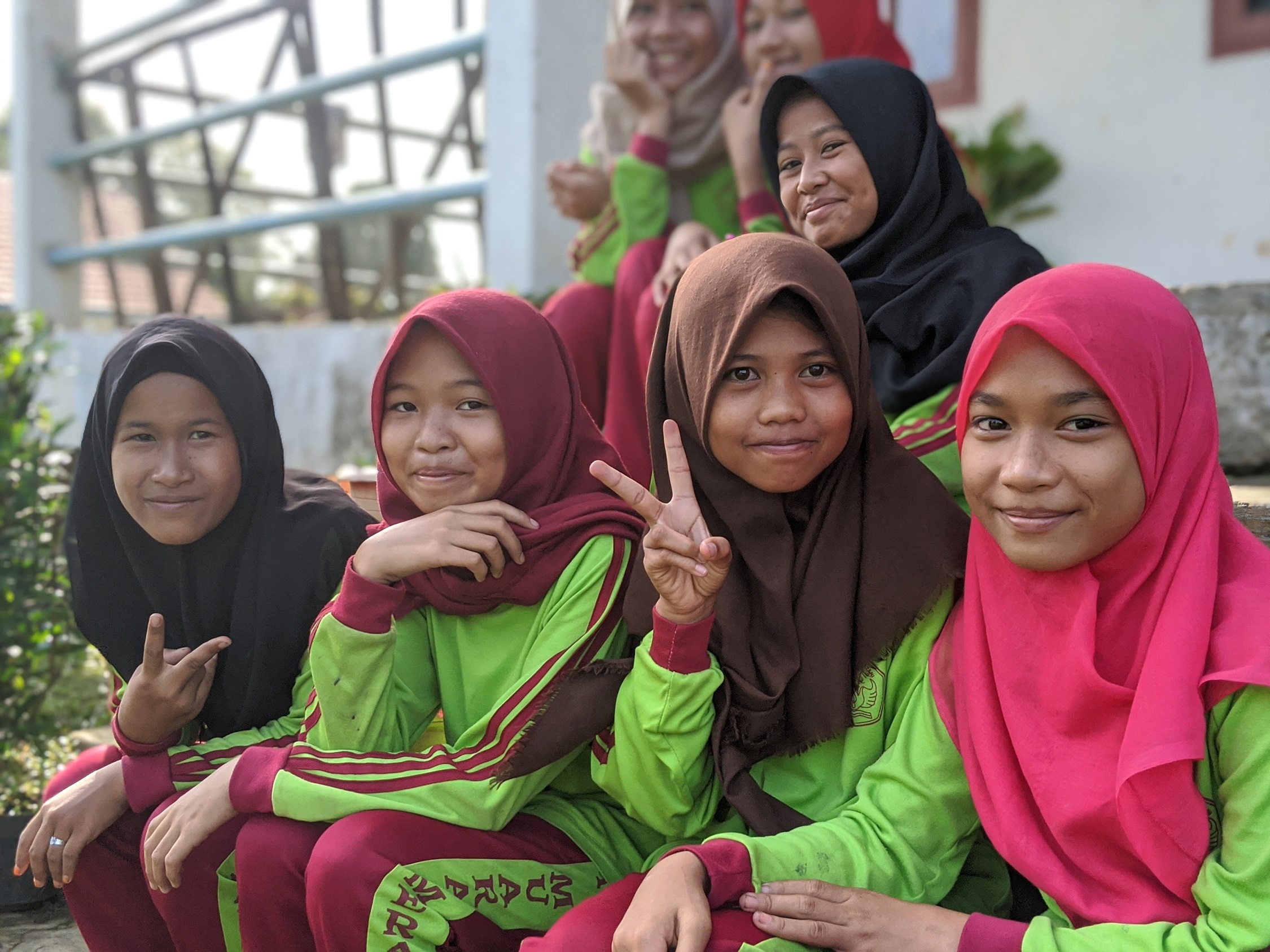
COMMITTING TO LOCAL COMMUNITIES
Investing in future leaders. Building rural education, health, and community infrastructure programs.